GIS and Mapping Teams with NetDrive — Cloud Imagery in Your Desktop Tools

How GIS analysts and mapping teams use NetDrive to open large orthophotos, rasters, and shapefile folders from S3, Azure Blob, and Wasabi as a normal drive letter.
A county mapping office receives a new aerial survey every spring: hundreds of GeoTIFF tiles, each a few hundred megabytes, plus the vector layers that go with them. The raw delivery lands in an object-storage bucket, but the analysts’ desktop GIS tools want a path like Z:\survey-2026\tiles, not an access key and an endpoint. NetDrive closes that gap by presenting the bucket as a drive.
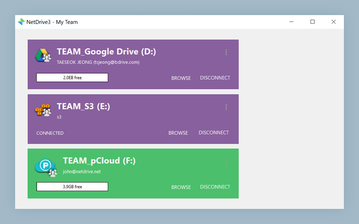
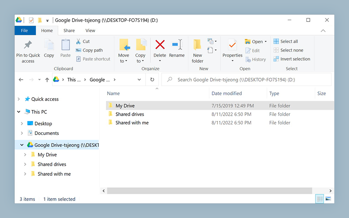
Open cloud imagery like a local folder
NetDrive lets Google Drive, OneDrive, S3, SFTP, WebDAV and more appear as native drives on Windows and macOS — no syncing, no full downloads.
- Mount S3, Azure Blob, Wasabi, or SFTP as a drive on Windows or macOS
- Read-only mode protects delivered survey data
- Adjustable local cache for tiles you revisit all day
Free trial. Lifetime and subscription plans available.
Why Geospatial Data Fits Object Storage but Not Your Desktop
Imagery archives grow in one direction. Every flight, satellite pass, or LiDAR delivery adds gigabytes, and nobody deletes the old years. Object storage such as Amazon S3, Azure Blob Storage, Google Cloud Storage, or Wasabi is a sensible home for that growth, and NetDrive supports all of them.
The friction is on the analyst side. Desktop applications generally expect a file path they can open, and an object-storage console is not a file picker. With NetDrive the bucket appears in Explorer or Finder, so any application’s Open dialog can browse into it. Nothing about your tools has to change.
Protect the Authoritative Copy with a Read-Only Drive
The most common accident in a shared imagery archive is an analyst saving a derived file into the delivery folder. NetDrive supports a read-only drive type, which is designed for safe viewing. Mount the delivery bucket read-only for the analysts, and give a smaller group a normal mount of a separate working bucket for products they generate.
That split gives you a simple convention: everyone can read the originals, only the working location accepts writes. The details are in Read-Only Drives in NetDrive.
Tune the Cache for the Tiles You Actually Reopen
Mapping work is repetitive. An analyst pans across the same study area for days, so the same tiles are read again and again. NetDrive has a configurable local cache from 100 GB to 1 TB, and a larger value keeps your working area close instead of fetching it repeatedly. Size it to hold the study area you touch in a week, not the entire archive. Cache Size Options in NetDrive explains where the setting lives and how to choose a value.
Be realistic about first access: the first time you open a tile that is not cached, it comes over the network. A fast connection to the bucket’s region helps more than any setting.
Setting Up a Survey Drive
- Install NetDrive and start your trial from the download page.
- Add a drive in the NetDrive drive manager and choose your provider, for example Amazon S3 or Azure Blob Storage.
- Enter the credentials for a user that has read access to the delivery bucket only.
- Choose the read-only drive type for the delivery mount.
- Pick a drive letter on Windows, or a mount name on macOS, such as
Z:for imagery. - Open your GIS application and browse to the new drive from its Open dialog.
To have the drive ready when the workstation starts, enable automatic mounting as described in Auto-Mount on Boot with NetDrive.
Practical Tips for Large Folder Trees
- Keep folders shallow and tidy. Directories with tens of thousands of entries are slow to list on any object store. If listings feel sluggish, see Fix Slow S3 Directory Listing in NetDrive.
- Refresh after a new delivery. When a vendor adds tiles, use a forced refresh so your view catches up, covered in Force Folder Refresh in NetDrive.
- Upload results in the background. Large derived rasters can be pushed to the working bucket while you keep working; see Background Upload Mode.
- Know the limits. NetDrive does not offer offline mode, so a field laptop with no connection cannot open cloud-only files. Copy what you need locally before you leave.
Wrap-up
For a mapping team, the win is that nothing changes in daily habits. Analysts keep opening files from a drive letter while the data lives in storage that scales with every survey. If you also host imagery on your own servers, the same approach works for SFTP servers on Windows and S3 on Windows.
— Alex, NetDrive